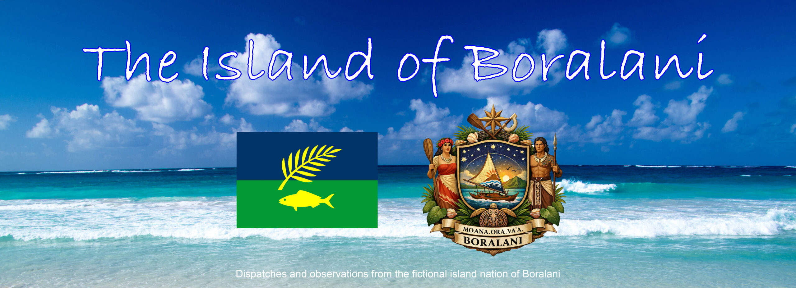
The Island of Boralani — Geographic Overview
Overall Shape & Setting
Boralani is a single main island with a few rocky islets offshore. Roughly oval, about 45 km east–west and 30 km north–south. Volcanic origin, old and eroded rather than dramatic. Think stable, not jagged.
Surrounding waters are shallow in places, with reefs and a partial lagoon on the leeward side. The windward coast is rougher, less settled.
Capital & Settlements
Lanu Vai — Capital Town
- Population: ~4,000–6,000
- Location: Southwest coast, set back from the water
- Features:
- Natural deepwater Vai Bay
- Government buildings, hospital, port authority
- Old colonial-era quay still in use
- Character:
- Administrative, not flashy
- Quiet after dark
- Where decisions are made, slowly
Lanu Vai is not dominant culturally—just administratively unavoidable.
Major Towns & Villages
Tefala
- North coast fishing town
- Second-largest settlement
- Known for:
- Boat repair
- Salt fish
- Weather complaints
- More outward-facing than the capital
Korana
- Inland foothill town
- Agricultural hub
- Surrounded by:
- Taro fields
- Banana groves
- Acts as a social anchor for rural families
Malae
- East coast village cluster
- Faces the open ocean
- Historically defensive location
- Still considered “exposed” and stubbornly independent
Uru Point
- Small settlement near the airstrip
- Transient population:
- Teachers
- Technicians
- Returning relatives
- Feels temporary even to residents
Water & Coastal Features
Vai Bay
- Natural harbor
- Sheltered from prevailing winds
- Economic heart of the island
- Where ships wait, unload, and linger
Nalua Lagoon
- Shallow lagoon on the west side
- Coral-rich, calm water
- Used for:
- Small-scale fishing
- Children learning to swim
- Protected by customary law, not signage
Reefs & Islets
- Fringing reef on most coasts
- Two small offshore islets:
- Uninhabited
- Used seasonally for fishing camps
- Burial legends attached to both
Interior Geography
Mountains & Highlands
- Central highland ridge: Mount Sabora
- Highest point: ~900 meters
- Cloud-capped more often than not
- Slopes are forested, steep, and thinly populated
- Source of most freshwater
These are not dramatic mountains—they loom quietly, which suits Boralani.
Rivers & Streams
No major rivers in the continental sense.
- Sava River
- Longest watercourse
- Seasonal but reliable
- Feeds Korana farmland
- Numerous short streams:
- Swell during rains
- Dry to trickles late in the season
- Flooding is known, expected, and managed informally
Arable Land & Land Use
Agricultural Zones
- Best land lies in:
- Inland valleys
- Lower slopes of Mount Sabora
- Crops include:
- Taro
- Cassava
- Breadfruit
- Bananas
- No large plantations
- Family plots dominate
Land Ownership
- Mix of:
- Customary family land
- Crown land
- Quietly disputed boundaries
- Land is worked, not speculated on